
The Kumbh Mela is hailed as the largest gathering of humanity on earth. 100 million pilgrims are purported to gather at the sacred intersection, the Sangam, of the Ganges, the Yamuna, and the Saraswati. A huge tent city is constructed to accommodate the pilgrims that come from far and wide to take a dip in the water.
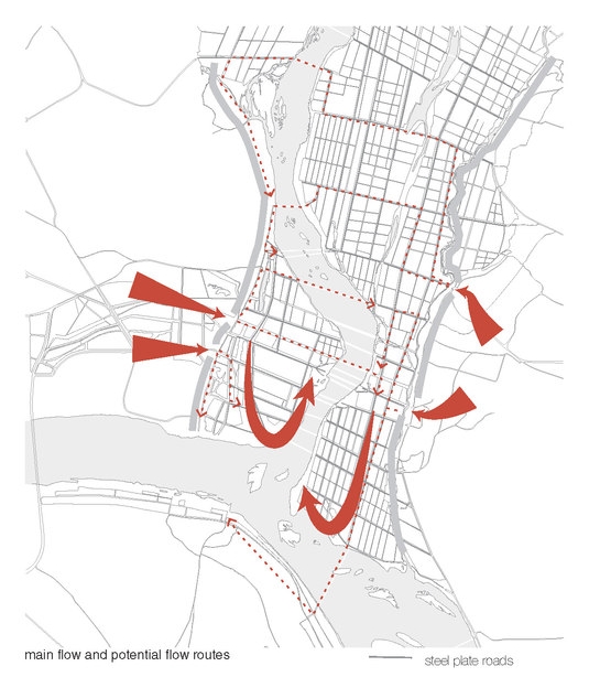
Because of the massive congregation of people, risks are escalated at the festival. In particular, on holy bathing days, pilgrims must be carefully managed such that the crowd moves at a safe place and that everyone can reach the river in due time. Stampede is always a fear, as is sanitation. This mapping project examined the infrastructure at the Kumbh, focusing on roads and health/sanitary infrastructure. Using parametric design, the risk at the Kumbh was mapped.
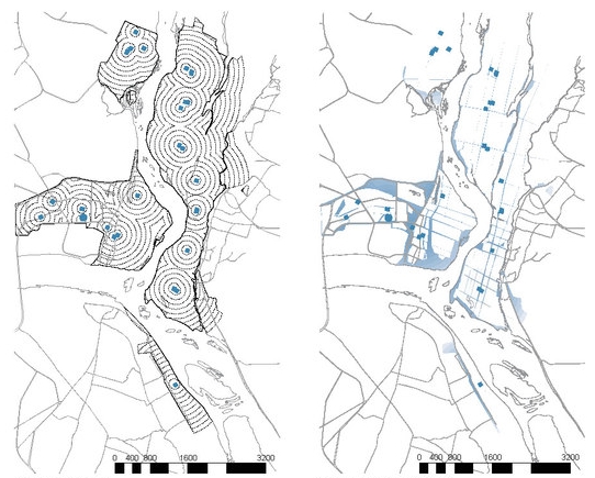
These maps explore potential bottlenecks, the flow of people, and the density and availability of sanitary infrastructure. Part of a larger project, these maps look at precisely how risks are made and averted in the management of the Kumbh Mela.
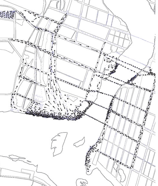
movement of pilgrims
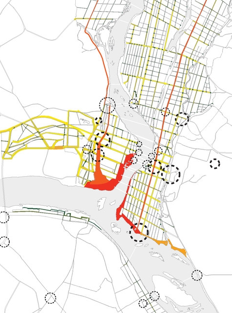
road hierarchy